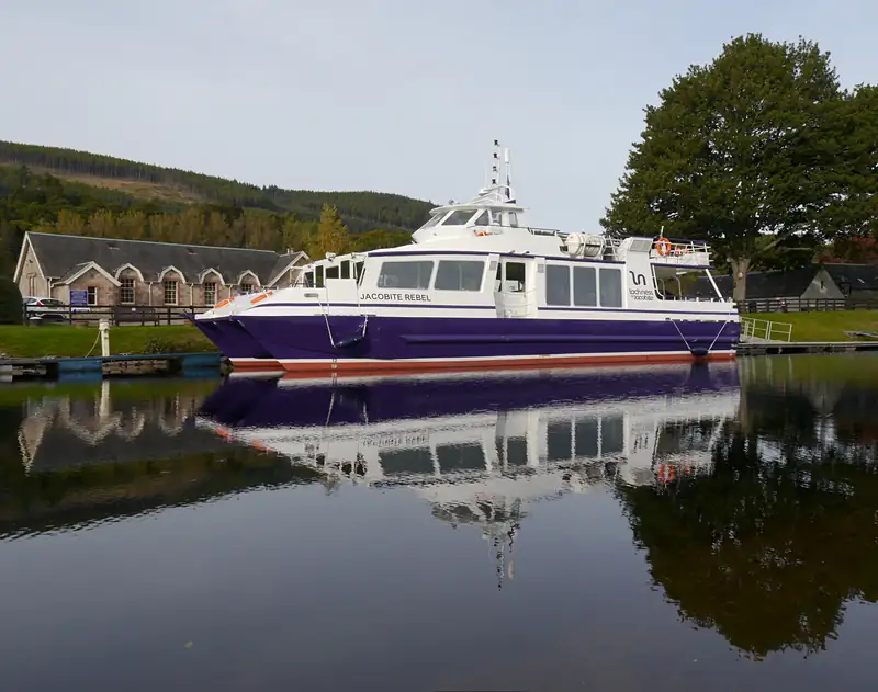
The Caledonian Canal: Telford's waterway through the Great Glen
The Caledonian Canal runs about 60 miles from Inverness to Corpach near Fort William, but only 22 miles of it are dug canal; the rest is Loch Ness, Loch Oich and Loch Lochy.
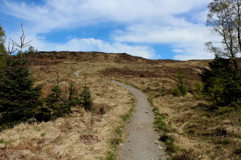
The Great Glen Way is a waymarked trail of about 79 miles (127 km) from Fort William to Inverness, usually walked in five to seven days. It passes through Drumnadrochit: the Invermoriston to Drumnadrochit stage is about 22.7 km and the final Drumnadrochit to Inverness stage about 30.2 km, the longest on the route.
The Great Glen Way is a long-distance walking trail across the Highlands from Fort William to Inverness, following the Caledonian Canal and the forests above Loch Lochy, Loch Oich and Loch Ness. Highland Council gives its length as 79 miles (127 km), and most people walk it in five to seven days. It passes straight through Drumnadrochit, which is the end of one stage and the start of the last.
For Drumnadrochit the two stages that matter are Invermoriston to Drumnadrochit, about 22.7 km, and Drumnadrochit to Inverness, about 30.2 km, the longest day on the Way.
Distances and times from Walkhighlands, checked October 2026. Most walkers go south-west to north-east, Fort William to Inverness, so the prevailing wind is behind them and the easier stages come first.
| Stage | Distance | Walking time |
|---|---|---|
| 1. Fort William to Gairlochy | 17 km (10.5 mi) | 4 to 4.5 h |
| 2. Gairlochy to Laggan | 19 km (12 mi) | 4.5 to 5 h |
| 3. Laggan to Fort Augustus | 17.2 km (10.5 mi) | 4 to 4.5 h |
| 4. Fort Augustus to Invermoriston (low route) | 12 km (7.5 mi) | 3 to 3.5 h |
| 4. Fort Augustus to Invermoriston (high route) | 12.4 km (7.5 mi) | 3.5 to 4 h |
| 5. Invermoriston to Drumnadrochit (low route) | 22.7 km (14 mi) | 5.5 to 7 h |
| 5. Invermoriston to Drumnadrochit (high route) | 21.8 km (13.5 mi) | 6 to 7.5 h |
| 6. Drumnadrochit to Inverness (low route) | 30.2 km (19 mi) | 7 to 9 h |
| 6. Drumnadrochit to Inverness (high route) | 31.3 km (19.5 mi) | 7 to 9 h |
Walkhighlands also lists a 21 km Invergarry Link, an alternative line for part of the route.
Why the totals disagree. Walkhighlands’ low-route stages add up to about 118 km. Scotland’s Great Trails gives 125 km, Highland Council 79 miles (127 km) and Scottish Canals 73 miles. Plan by the stage figures, not the headline total.
This is the hilliest stage. Since 2014 walkers can choose a higher-level option between Fort Augustus and Drumnadrochit, and Scotland’s Great Trails puts the highest point of the whole Way, 422 m, on the high route on this stage.
From Invermoriston the route climbs a steep minor road onto forest tracks, passes a sculpture called The Viewpoint, then crosses a quiet valley between the hills that feels wild and remote. It reaches a small car park at the top of the Bunloit road and drops down the lane into Lewiston, at the south end of the village. The Loch Ness 360 trail organisers say the pottery by the Bunloit car park serves refreshments in summer.
At about 30 km this is the stage that tests people. The route leaves Drumnadrochit along the A82 pavement past Temple Pier, then climbs steeply on woodland paths with hairpin bends above the loch, with views over the loch to Urquhart Castle. It crosses moorland to Abriachan, where the Abriachan Woodland Trust has toilets and picnic tables, then follows about 4 km of quiet minor road towards Blackfold before entering Inverness through Dunain Community Woodland, over the canal at Tomnahurich swing bridge and past the Ness Islands to finish at Inverness Castle.
Scotland’s Great Trails suggests splitting it, either with transport to or from Blackfold or by camping at Abriachan, where the Loch Ness 360 organisers mention an eco-campsite and café open all year.
The village is the natural overnight stop between stages 5 and 6, with hotels, guest houses, a hostel and a campsite. Several places say they sit on or next to the Way (see Drumnadrochit hotels). The Loch Ness Hub in the village car park handles baggage transfers for walkers.
Getting back to the start is easy. Scottish Citylink’s 919 runs along the A82 between Inverness and Fort William and, according to Walkhighlands, passes the start or end of every stage except Gairlochy. In October 2026 it ran about ten times a day from Inverness on weekdays, and the £2 Highlands bus fare cap applies until early 2027 (see Inverness to Drumnadrochit).
Look for blue signs with a dark blue thistle. The route is well waymarked on clear paths and tracks, with short stretches of minor road around Gairlochy, Kilfinnan, Drumnadrochit and Abriachan. It is also open to mountain bikes, but Scotland’s Great Trails warns that a few very steep high-route sections are unsuitable for cyclists.
The South Loch Ness Trail covers the quieter east side of the loch. Scottish Canals describes it as about 28 miles from Loch Tarff near Fort Augustus to Torbreck on the edge of Inverness, via Whitebridge, Foyers, Inverfarigaig and Dores. It opened in August 2011 and is waymarked with blue signs showing a squirrel.
It takes in the Suidhe viewpoint and the Falls of Foyers, and passes through Dores (see Dores Beach). Cyclists should note that the section between Inverfarigaig and Foyers is not suitable for bikes; the Loch Ness 360 organisers suggest the Glen Liath road instead.
Join the Great Glen Way (Inverness to Fort Augustus) to the South Loch Ness Trail (Fort Augustus back to Inverness) and you have the Loch Ness 360 Trail, an 80-mile (129.5 km) loop round the whole loch run by Visit Inverness. It has six sections, each about a day on foot or half a day by bike:
| Section | From and to |
|---|---|
| 1 | Inverness to Drumnadrochit |
| 2 | Drumnadrochit to Invermoriston |
| 3 | Invermoriston to Fort Augustus |
| 4 | Fort Augustus to Foyers |
| 5 | Foyers to Dores |
| 6 | Dores to Inverness |
Drumnadrochit is a good base for sections one and two: walk one, sleep in the village, walk the next. See the Loch Ness 360 site for maps and elevation profiles.
The same coast-to-coast line works by water. Scotland’s Great Trails calls the Great Glen Canoe Trail Scotland’s first dedicated long-distance canoe trail, launched in 2012: 22 miles of canal and 38 miles of open loch, with 29 locks to carry your boat around. Most paddlers take about three days by kayak or five by Canadian canoe, going Fort William to Inverness with the prevailing wind.
Loch Ness and Loch Lochy are treated like open sea. Water is typically around 4°C and waves can reach 2 m in bad weather, so the trail suits paddlers with open-water experience; novices are advised to join an organised trip. Scottish Canals asks every paddler to register in advance, and over 4,000 paddle the canal each year. For more on the waterway itself, see our Caledonian Canal guide.
Five to seven days for most walkers, according to Scotland's Great Trails. The six usual stages run between 12 and 30 km each. Many people split the last and longest stage, Drumnadrochit to Inverness, using transport to or from Blackfold or camping at Abriachan. The route is also open to mountain bikes, though a few high-route sections are too steep to ride.
The first half is easy, mostly flat canal towpath and forest track from Fort William to Fort Augustus. After Fort Augustus the route climbs and drops through the forests above Loch Ness, and the high route adds steep sections. Walkhighlands says that for most walkers the final stage is the main challenge, because of the distance from Drumnadrochit to Inverness.
About 30.2 km (19 miles) on the low route and 31.3 km on the high route, according to Walkhighlands, which estimates 7 to 9 hours. It is the longest stage of the Way. The path follows the A82 to Temple Pier, climbs through woods to Abriachan and Blackfold, then drops into Inverness past the Ness Islands to Inverness Castle.
A loop of about 80 miles (129.5 km) right round Loch Ness, made by joining the Great Glen Way between Inverness and Fort Augustus with the South Loch Ness Trail back to Inverness. Its organisers split it into six sections, each about a day on foot or half a day by bike. Drumnadrochit is the end of section one and the start of section two.
Scottish Canals asks all paddlers to register their trip in advance so it knows who is on the water. Registration is not a booking, but you should also plan where to sleep: informal camping is only allowed at designated spots for single nights. A £10 fee gives access to the canal's toilets, showers and laundry along the way.
The Caledonian Canal runs about 60 miles from Inverness to Corpach near Fort William, but only 22 miles of it are dug canal; the rest is Loch Ness, Loch Oich and Loch Lochy.
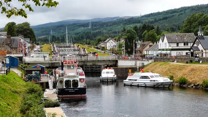
Fort Augustus is the village at the south-west end of Loch Ness, 19 miles (27 minutes) from Drumnadrochit and about 50 minutes from Inverness.
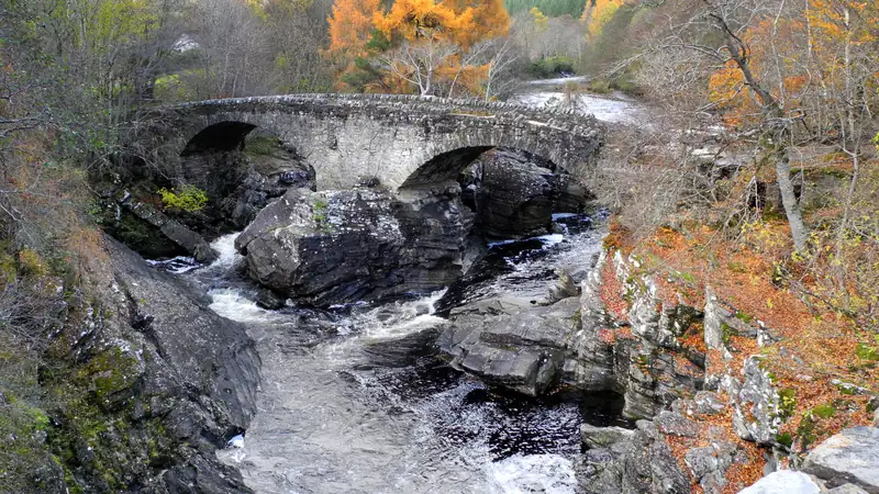
Invermoriston is a small village on the west shore of Loch Ness, 13 miles (19 minutes) south of Drumnadrochit, where the A887 turns west up Glenmoriston, the road towards Skye.
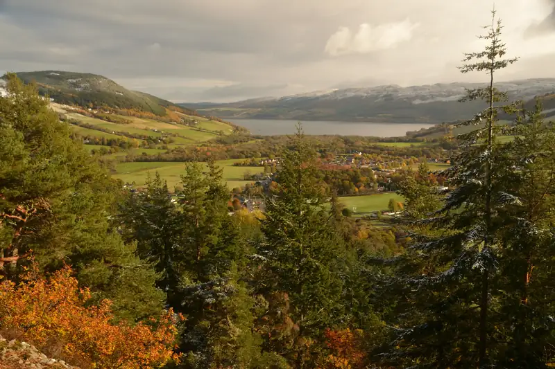
The best short walks from Drumnadrochit are the Craigmonie Trail (2 km, about an hour, with a viewpoint over Loch Ness) and the flat Urquhart Bay Wood loop (2 km, 45 minutes).