The best short walks from Drumnadrochit are the Craigmonie Trail (2 km, about an hour, with a viewpoint over Loch Ness) and the flat Urquhart Bay Wood loop (2 km, 45 minutes). For a half day, walk to Divach Falls or Urquhart Castle; for a hill, climb Meall Fuar-mhonaidh.
The best short walk from Drumnadrochit is the Craigmonie Trail: about 2 km and an hour up through old woods to a crag with a view over the village, Urquhart Bay and Loch Ness. If you want flat ground, Urquhart Bay Wood is a 45-minute loop by the river mouth. With half a day, walk to Divach Falls or to Urquhart Castle. With a full day and decent weather, climb Meall Fuar-mhonaidh, the hill you see from many points around the loch.
Most of these start in the village itself. Park at the free car park by the visitor information centre (IV63 6TX), which has toilets.
Walks at a glance
Checked October 2026. Distances and times come from Forestry and Land Scotland (FLS) and Walkhighlands, or from OpenStreetMap foot routing where marked.
| Walk |
Distance |
Time |
Start point |
| Urquhart Bay Wood |
2 km |
45 min |
Unsigned car park opposite the cemetery, past the Ben Leva hotel |
| Craigmonie Trail (FLS) |
2.0 km |
1 hour |
Redwoods at the trailhead, 500 m from the village car park |
| Milton Trail (FLS) |
2.6 km |
1 hour |
Same trailhead as Craigmonie |
| Village to Urquhart Castle (one way, OSM routing) |
About 3.7 km |
About 48 min |
Village green |
| Village to Divach Falls and back (OSM routing) |
About 7.4 km |
About 1 h 40 min |
Village green, via Balmacaan Road |
| Craigmonie and Divach Falls circuit (Walkhighlands) |
10 km, 278 m ascent |
3 to 4 hours |
Village car park |
| Meall Fuar-mhonaidh (Walkhighlands) |
9 km, 535 m ascent |
3 to 5 hours |
Car park near the end of the Bunloit road |
| Abriachan Forest and Càrn na Leitire (Walkhighlands) |
9.2 km, 261 m ascent |
3 to 3.5 hours |
Abriachan Forest Trust car park, about 7 miles by road |
Craigmonie viewpoint
Craigmonie is a community wood just west of the village, run by FLS with the Craigmonie Woodland Association. From the car park, follow the waymarkers for Craigmonie Woodland Trails for about 500 m. The trails start between two giant redwoods, which FLS says the estate owners planted 200 years ago.
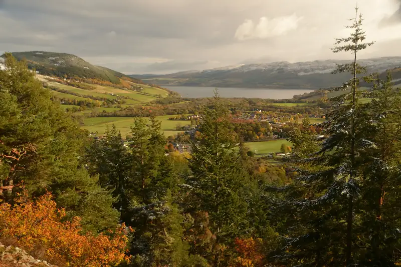
The Craigmonie Trail climbs steadily to the top of the crag, where a seat looks out over Drumnadrochit and Loch Ness. FLS rates it strenuous, with steep slopes for up to 600 m. Walkhighlands notes the crag was once an Iron Age fort, and FLS adds that a gibbet stood on the top as a warning to local wrongdoers.
The Milton Trail (2.6 km) loops along the side of Glen Urquhart to a viewpoint over Milton. FLS says the hamlet takes its name from its 19th-century woollen mills, which made the black-and-white Glen Urquhart check tweed. Look out for red squirrels; badgers and pine martens live here too but are rarely seen.
The legend of Monie. The crag is named after Monie, said to be the son of a Scandinavian king. In the story he made a stand on the rock, lost, fled up the glen and was overtaken and killed at Corrimony, whose Gaelic name means “Monie’s corrie”. William Mackay wrote it down in 1893 and called it tradition; nobody has found an earlier written version, and Mackay himself argued the Norse never settled the parish. Treat it as a good story, not history.
Urquhart Bay Wood
The Woodland Trust looks after this wood on the delta where the Rivers Enrick and Coiltie meet Loch Ness, and calls it one of the best surviving examples of ancient wet woodland in Europe. Alder thrives here because the ground floods: after heavy rain, Walkhighlands says, the whole wood goes under water.
The loop is 2 km and almost flat. It follows the Enrick to a stony beach at the confluence with the Coiltie. A suspension bridge used to carry walkers across the Coiltie to the loch shore, but floods washed it away in 2007. After a long dry spell you can wade across; otherwise turn back.
Drumnadrochit to Urquhart Castle walk
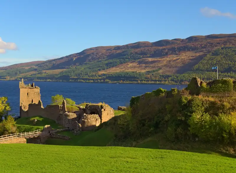
Urquhart Castle is about 3.7 km from the village green on foot, roughly 48 minutes by OpenStreetMap routing. The route goes through Lewiston, then follows the A82, where OSM maps a surfaced footway beside the road. The A82 is the main road along the loch, so stay on the path.
Book your castle ticket online before you set off. Historic Environment Scotland says tickets often sell out in summer, and once the online allocation is gone there are none at the gate.
Divach Falls
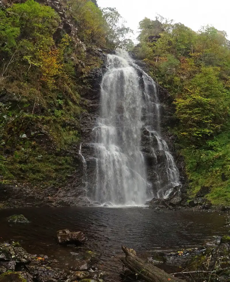
The falls drop about 30 m in oakwoods 2 miles south-west of the village. A landslip closed the road to the falls car park in December 2024, and FLS still listed it as closed to vehicles in October 2026, so the walk from the village is now the only way in. See the Divach Falls guide for the route and the latest on the closure.
Meall Fuar-mhonaidh
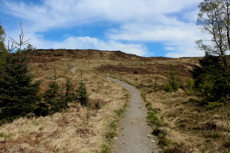
At 699 m, this is the hill Walkhighlands describes as well seen from many points around Loch Ness. Walkhighlands starts at a small car park near the end of the Bunloit road, south of the village. The path follows a stream, climbs through birch and hazel, crosses a deer fence and reaches a moorland ridge. The last 100 m are very steep. From the top the view runs down the Great Glen to Ben Nevis and along most of the loch.
Allow 3 to 5 hours, wear boots, and turn back if cloud is down on the ridge.
Abriachan
Abriachan sits on the hillside above the loch towards Inverness, about 7 miles by road from the village. The community-owned Abriachan Forest Trust bought the forest and moorland in 1998. From its car park (toilets and picnic tables) a 9.2 km Walkhighlands circuit passes a wildlife hide over Loch Laide, a reconstructed shieling and a reconstructed whisky still, and climbs to the 434 m cairn of Càrn na Leitire.
Long-distance trails
The Great Glen Way runs 79 miles from Fort William to Inverness straight through the village; you can walk short sections of it from here, heading south up Bunloit Road or north towards Abriachan. The Affric Kintail Way also starts in Drumnadrochit and leads west through Glen Urquhart to Glen Affric.
Staying a few nights makes these walks easy to fit in. See where to stay in Drumnadrochit. On a wet day, The Loch Ness Experience (formerly the Loch Ness Centre) in the village is an hour under cover.